
Morwincha railway station
Morwincha is a rural locality in the Scenic Rim Region. The locality takes its name from the former Morwincha railway station on the Mount Edwards railway line, which was named by the Queensland Railways Department on 5 February 1915. Morwincha is thought to be an Aboriginal word; its meaning is unknown. It was located on Morwincha Road, 34 miles 30 chains (55.3 km) from Ipswich at an elevation of 312 feet (95 m) [27.97299°S 152.57734°E].
Utilising Google Maps Lat/Long coordinate search, it places the Morwincha railway station along Morwincha Road, east of the Cunningham Highway.
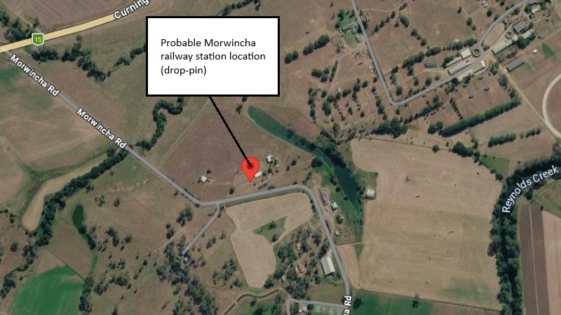
Probable Morwincha railway station location
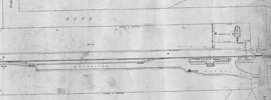
Morwincha railway station layout 1925 (QR drawing) [1]
Queensland Railways - Munbilla to Mt Edwards - Morwincha Station (revised to May 1925)
Revision details from the Queensland Railways drawing as follows:
- 30-10-1941 - (39-4580) Cottage to be removed
- 05-01-1943 - (42-3180) Sanitary Convenience to be removed
- 10-11-1948 - (47.183) Platform at Rail Level
- 12-09-1960 - (W.N. 37/60) Closed to Public Traffic from 01-11-1960
Aratula railway station
The local town, originally named Carter's Gate, changed its name to Aratula to match the railway station. Aratula's name may mean "permanent water hole" or "land of the wild duck", with indigenous origins and possible connections to the Ugarapul language (but is unconfirmed). Aratula railway station was located on the eastern end of Sawmill Road, 36 miles 2 chains (58.0 km) from Ipswich at an elevation of 357 feet (109 m) [27.98252°S 152.55450°E].
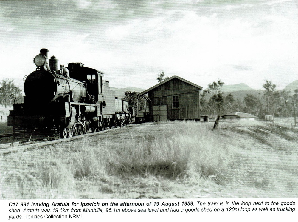
Aratula railway station - 1959 [2]
Utilising Google Maps Lat/Long coordinate search, it places the Aratula railway station at the eastern end of Sawmill Road.
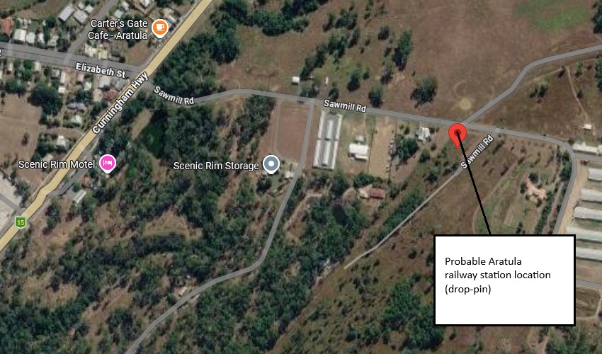
Probable Aratula railway station location
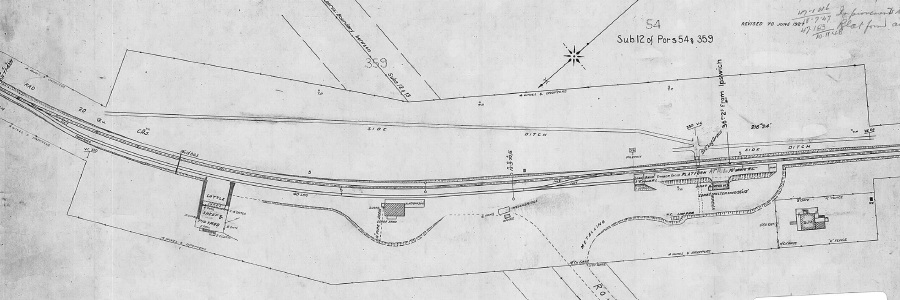
Aratula railway station layout 1927 (QR drawing) [3]
Queensland Railways - Munbilla to Mt Edwards - Aratula Station (revised to June 1927)
Revision details from the Queensland Railways drawing as follows:
- 07-12-1936 - (35-3451) Improvements to Trucking Yards
- 18-07-1947 - (47-1816) Improvements to Station Master's residence
- 10-11-1948 - (47.183) Platform at Rail Level
- 12-09-1960 - (W.N. 37/60) Closed to Public Traffic from 01-11-1960
Mount Edwards railway station
The terminus for the Mount Edwards branch was at the Mount Edwards railway station. It was located on the southern corner of the Cunningham Highway and Lake Moogerah Road, 39 miles 70 chains (64.2 km) from Ipswich at an elevation of 621 feet (186 m) [28.02136°S 152.51578°E].
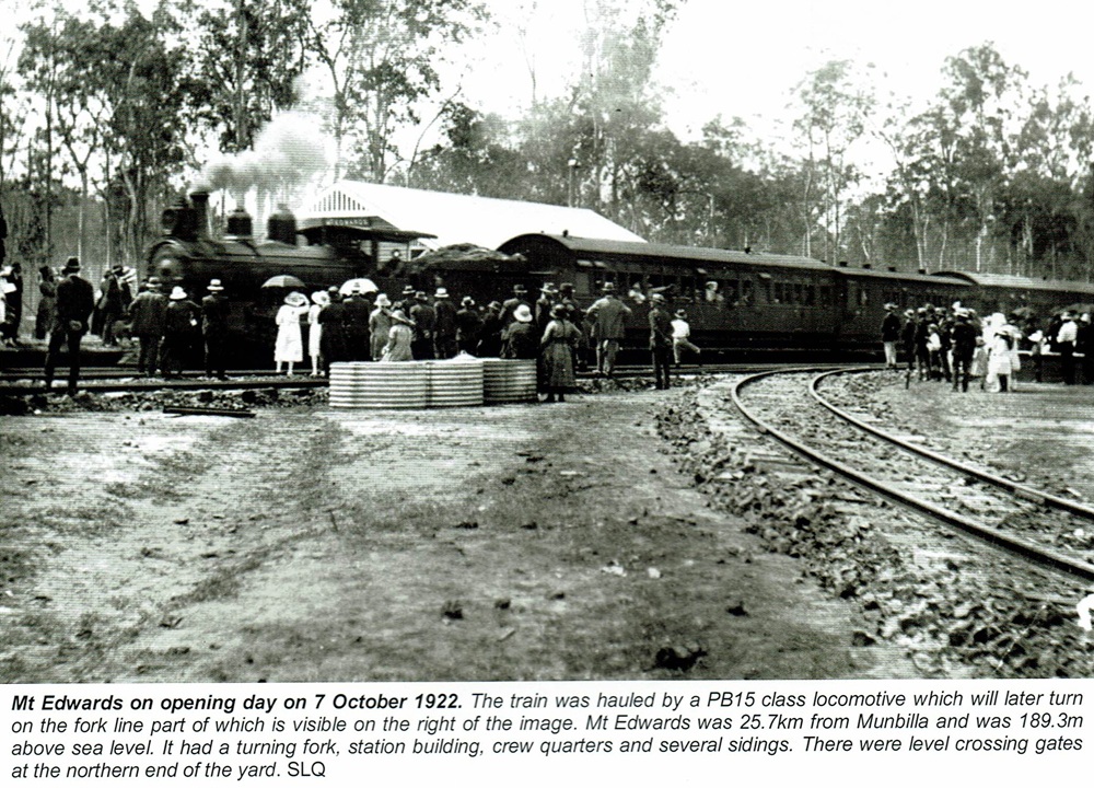
Mount Edwards railway station - 1922 [4]
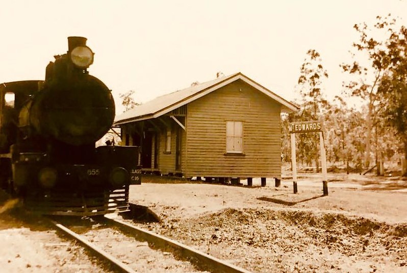
Mount Edwards railway station
Utilising Google Maps Lat/Long coordinate search, it places the Mount Edwards railway station at the southern corner of the Cunningham Highway and Lake Moogerah Road.
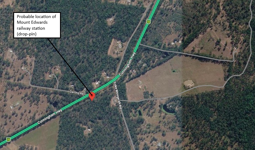
Probable Mount Edwards railway station location
- [1] S05379-0001 Morwincha Station (May 1925) - (view the full version)
- [2] Look Out for Train: 7 - To The Scenic Rim 1 (page 77)
- [3] S05380-0001 Aratula Station (June 1927) - (view the full version)
- [4] Look Out for Train: 7 - To The Scenic Rim 1 (page 79)